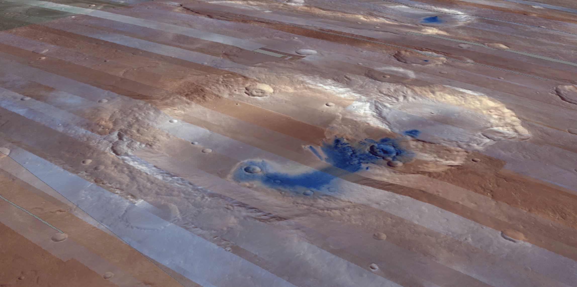
On October 22, 2025 the CRISM team has released to PDS the latest set of VRDR products (mosaiced VNIR hyperspectral mapping data)
They cover most of the surface between 67.5S and 67.5N degrees latitude.
We are glad to announce that 4 browse products from the above release are now available in CRISM QuickMap: